This is a story of maps.
There is a richness to the colourful inks and thick, hearty paper that most maps are printed on. This richness has seeped into my life and wound its way through it, much the way the roads will wind along toward one’s destination.
Southern California was a car culture
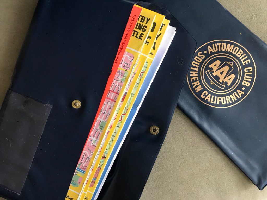
As a child, our car gloveboxes were filled with blue folded maps from the Auto Club. We even had a dark blue plastic envelope to keep those uniform-sized vertical maps organized.
Family vacations were road trips. Whether it was to explore the mountains or a lengthy trip to visit family many states away, we’d get out the maps to study the way to our destination – or have the Auto Club build us a TripTik with page after page of spiral-bound mini maps with red-highlighted route suggestions.
Finding Adventure in Books With Maps
When I was wandering the shelves at the public library, looking for the next book to read, I’d typically check the dust jacket for the synopsis of the novel. Without a dust jacket, I’d find a book that had a map on the front pages and would take a chance on that one. Often, these were good choices.
Maps re-entered my life as I was working in Switzerland.
With a giant Eurail map I plotted my grand circular tour of the countries in Europe. Using guidebooks and pens, I noted my booked hostels, overnight train travel and placed joyful stars where I’d meet up with friends and family.
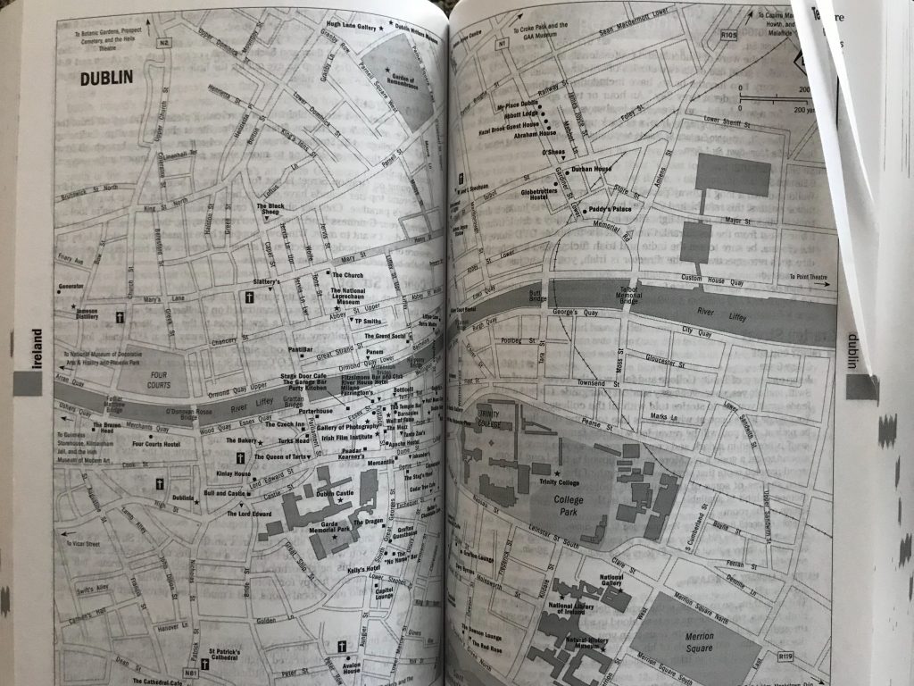
The paper-thin one-page city maps in “Let’s Go Europe” were a lifesaver for me in getting my bearings until I’d arrived in a city’s tourist office and captured their free maps.
Lineups of tourists would stand in a snaking line, shifting their backpacks until they were the lucky ones to hang over the desk asking questions of the incredibly calm staff.
Highlighter in hand, these friendly tourist officers would detail the location of the main train station in relation to one’s hostel and any of the key attractions.
As a solo female traveler, I’d sidle up to the female staff and ask them to highlight the areas of the city that a lone woman would not want to be in at night — and to cross out areas of the map which one should avoid completely.
A Visual Working Reminder
In the 90’s, soon after I established my life here in Toronto, I’d posted a large map of Canada on my office wall, with yellow square post-it notes which said “3 days” “5 days” or “12 days.” This was a visual reminder to get new music releases to retail stores at exactly the right date.
If Michael Jackson’s double-platinum CD arrived earlier than the release date, we’d be tempting a music retailer to sell early. Any later than the release date and there were some very angry retail store managers tracking me down.
Digital Maps Change Everything
To continue this story of maps, by 1996, Mapquest came on the scene. Getting from place to place was a direction search and simple print away. In hindsight, this was revolutionary.
In the 2000’s, Google Maps leapfrogged ahead of the competition with deeper features.
Digital mapping, from the GPS we had in the car, to the online mapping data I used to inform my media buying, is still very much a part of my life.
Using Maps for Planning
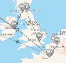
One Winter, while the snow howled outside, I booked a three-week trip to Europe. I used an app called TripIt to pull together all of my disparate confirmations. It captured plane flights, hotel and dinner reservations, tour bookings and even a few attraction details. In the map section, it showed moving planes and trains which added a special excitement to the anticipation of travel.
Maps are, and forever will be part of my life, and form much of who I am.
Have maps been a part of your life, too? In what ways?